
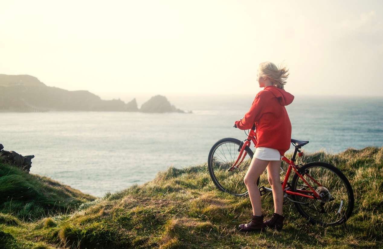
With many people having taken up cycling during lockdown, the West Kernow Way is bound to prove popular this summer. A new initiative from Cycling UK, it’s one that I’m surprised hasn’t come sooner. This part of the world is awash with bridleways, cycle-able terrain and quiet backcountry roads suited to bikes. It’s also part of the world best explored slowly – drive past this landscape without stopping at the ruins, the pubs and the hamlets and you’re missing a fundamental part of what makes this area of Cornwall special. It’s set to be a popular route, intended to be covered over four days. So what are the highlights and where should you start?
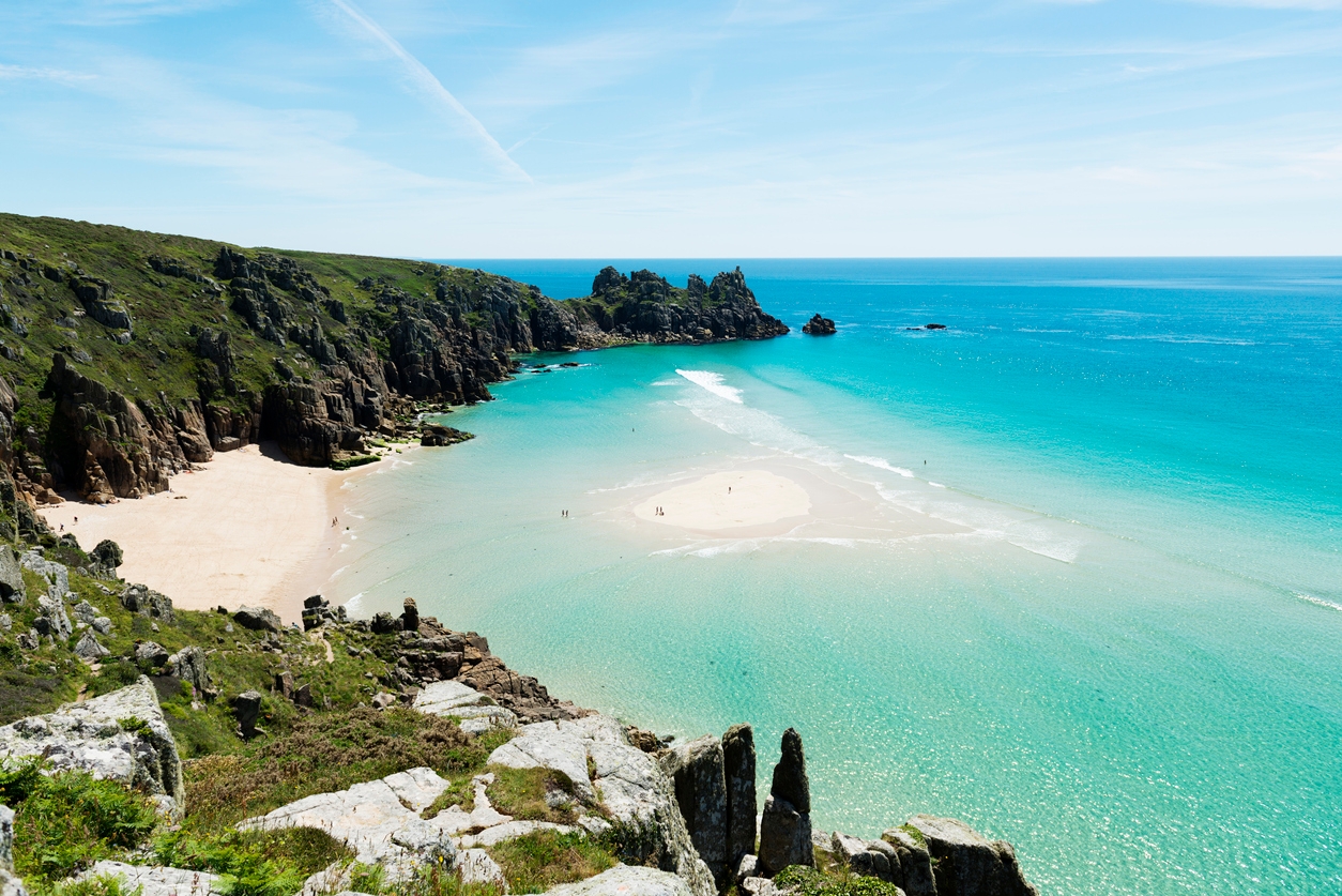
The route begins and ends in Penzance – by far the ‘last stop’ in this part of the country and the largest town in the area. Go west from here, and Penzance begins to look like a metropolis. Head along the south coast and you can easily see gentle, Daphne Du Maurier creek-laden Cornwall morph into something far wilder, and with cliffs a great deal higher than you see in other parts of the county east of the Lizard Peninsula. Small coves such as Lamorna offer brief havens, but be sure to stop at the Logan Rock Inn near Treen Campsite and the now Instagram-famous Pedn Vounder beach whilst heading down towards the Minack Theatre.
The little village of St Levan is the perfect stop to embark on to the coast-path and down to Porth Chapel Beach – a hidden gem. There are plenty of hills here, but the roads are quiet, narrow and fringed with abundant wildflowers. Slightly sheltered from the biting westerly or north-westerly winds, they can make for very pleasant riding.
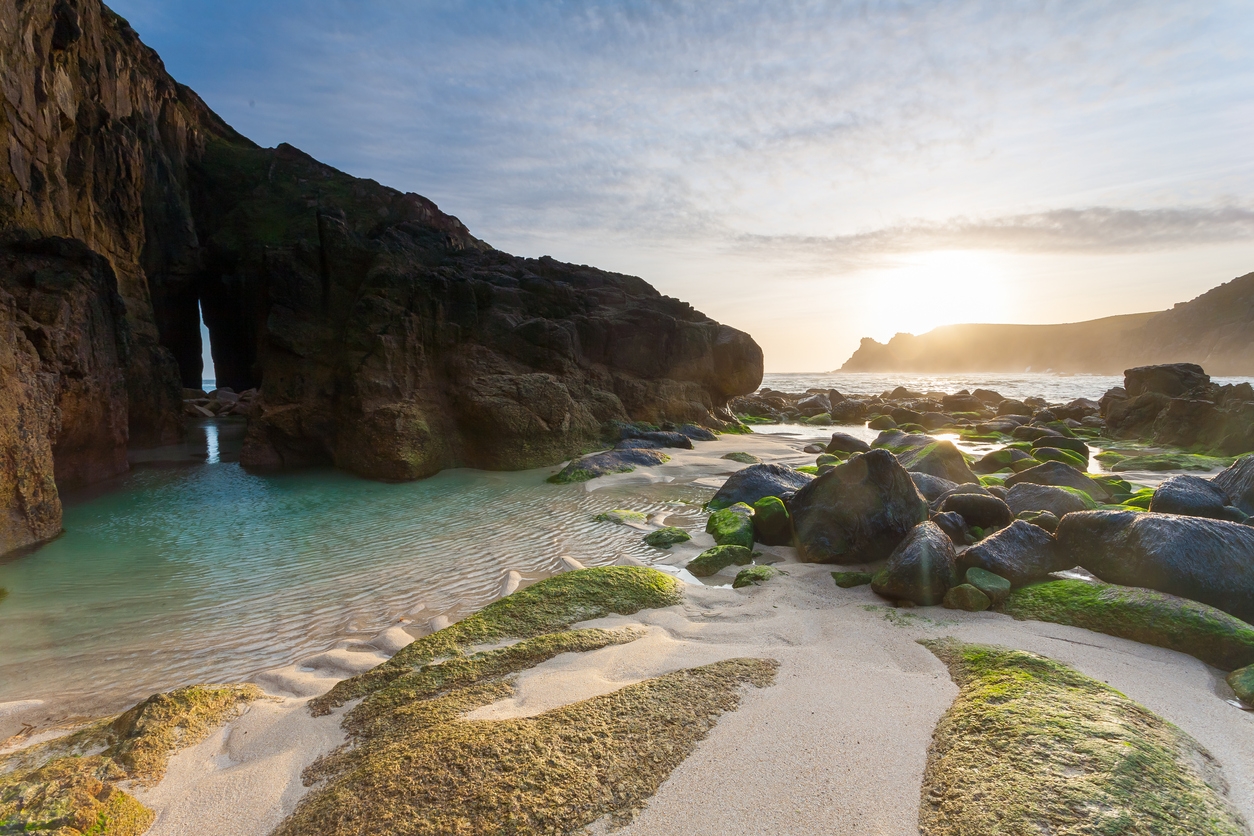
Rounding the far southwestern tip of Cornwall, the West Kernow way takes you to rugged mining territory. The tin mines at Botallack and Geevor, ravaged by wind, rain and spray lead to a bleaker, more ‘end of the earth’ environment. Skip the attractions at Lands End unless you’re desperate for a picture by the sign – you’re far better off stopping at the beautiful Nanjizal Beach, the lovely First and Last pub in Sennen and the charming Land’s End Airport cafe – allowing a brief respite to watch the Skybus planes depart to the Isles of Scilly.
Rounding the northwestern edge of the county, towards St Ives, the landscape changes again. Ancient farming systems have dictated a field pattern that has stayed the same for centuries, and the beautiful Men An Tol, Neolithic or Bronze-Age standing stones, give the area an almost spiritual, druid-like quality to it. The Tinners Arms in Zennor is a particular highlight, and a bit further south, Pendeen Watch Lighthouse is an impressive sight with a path down to a beautiful cove called Polkerris.
St Ives and Hayle appear as bustling, thriving towns and a shock to the system after the isolation of the far west. But past this the Neolithic and then Iron Age settlement of Carn Brea, with its Celtic monument sat atop one of the highest hills in the area is a site not to be missed. If you climb to the top, you can easily see both north and south coastlines at the same time – one of the only vantage points in Cornwall where this is possible.
Heading down to The Lizard, the landscape once again takes a more rugged turn. The eastern side of the peninsula is gentle, but the famous Lizard Point marks the furthest southerly part of the UK and is famous for its unique rock that also forms the stunning monoliths and rock formations at Kynance Cove. This side of the peninsula sees you on the home straight and rounding the eastern side of the peninsula, with your origin and destination Penzance in sight again.
The route is 240km in total, and enables greater access to some of the best-hidden parts of western Cornwall. Although popular with tourists, this part of Cornwall is arguably the hardest to get ‘under the skin’ of; a bicycle is undoubtedly one of the best ways to connect with its landscape.


Comments